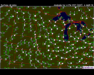
Today there were some very interesting cloud patterns to look at! This morning I awoke to what appeared to be Altocumulus Duplicatus clouds. In Field Guide to Weather it says that these types of clouds can often appear as multi-layered & disorganized, which is exactly what I saw. I was unsure of what type of cloud it was at first because it looked in some areas to be cumulus, and in some areas to be almost stratus or cirrus. These clouds mean that there is a lot of moisture being carried over a long distance-which can be related to the water vapor map below. You can see that there as a lot of water vapor to our northwest, and since we are located right under the jet stream and receiving winds from the northwest, it makes sense that this water vapor is being carried over us by these Altocumulus Duplicatus clouds that are traveling via the jet stream.
However, this afternoon the clouds have changed. The only type of cloud that I believe this cloud looks like is the stratocumulus undulatus cloud. These are low clouds also associated with moisture. They often bring light precipitation-such as flurries or light rain. Because of this, I predict that there is a chance of precipitation later.


No comments:
Post a Comment